|
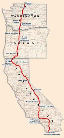
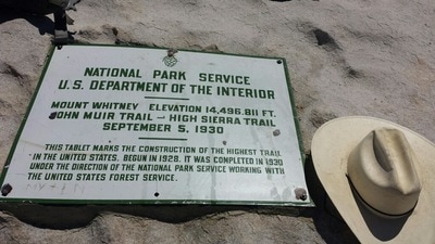
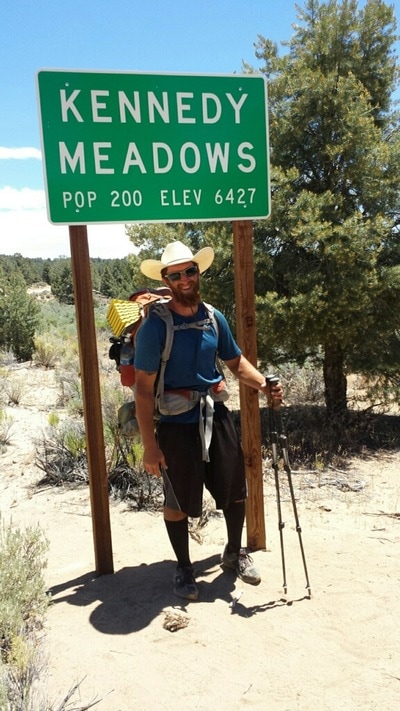
The Pacific Crest Trail (commonly known and hereby referred to as the PCT), runs through the Sierra Nevada and Cascade mountain ranges from the Canada-US border in the north all the way to the US-Mexico border in the south. It is 2,659 miles long, reaches a maximum elevation of 13,153 feet at Forester Pass in the Sierra Nevadas, and dips all the way to near sea level at the Washington-Oregon border. Each year thousands of hikers enjoy one of the westernmost and diverse American hikes in the PCT. Chester, California is the unofficial midpoint of the PCT, and Plumas Pines Resort is a quick eight minute drive from the trailhead. Hikers are a common sight in the area and are most welcome. If you’re looking for more information on the route or conditions for the PCT, visit the Pacific Crest Trail Association’s website below. There is plenty to see and do on the PCT, and while some hikers trek the entire trail, others casually enjoy the sights and sounds of this incredible hike for a few hours, a few days, or even a week. PCTA website: www.pcta.org PCTA phone: 916.285.1846 |
Copyright © 2024, Plumas Pines Resort, Inc. All rights reserved.
